

The Ancient Worlds Atlas: A Pictorial Guide To Past Civilizations
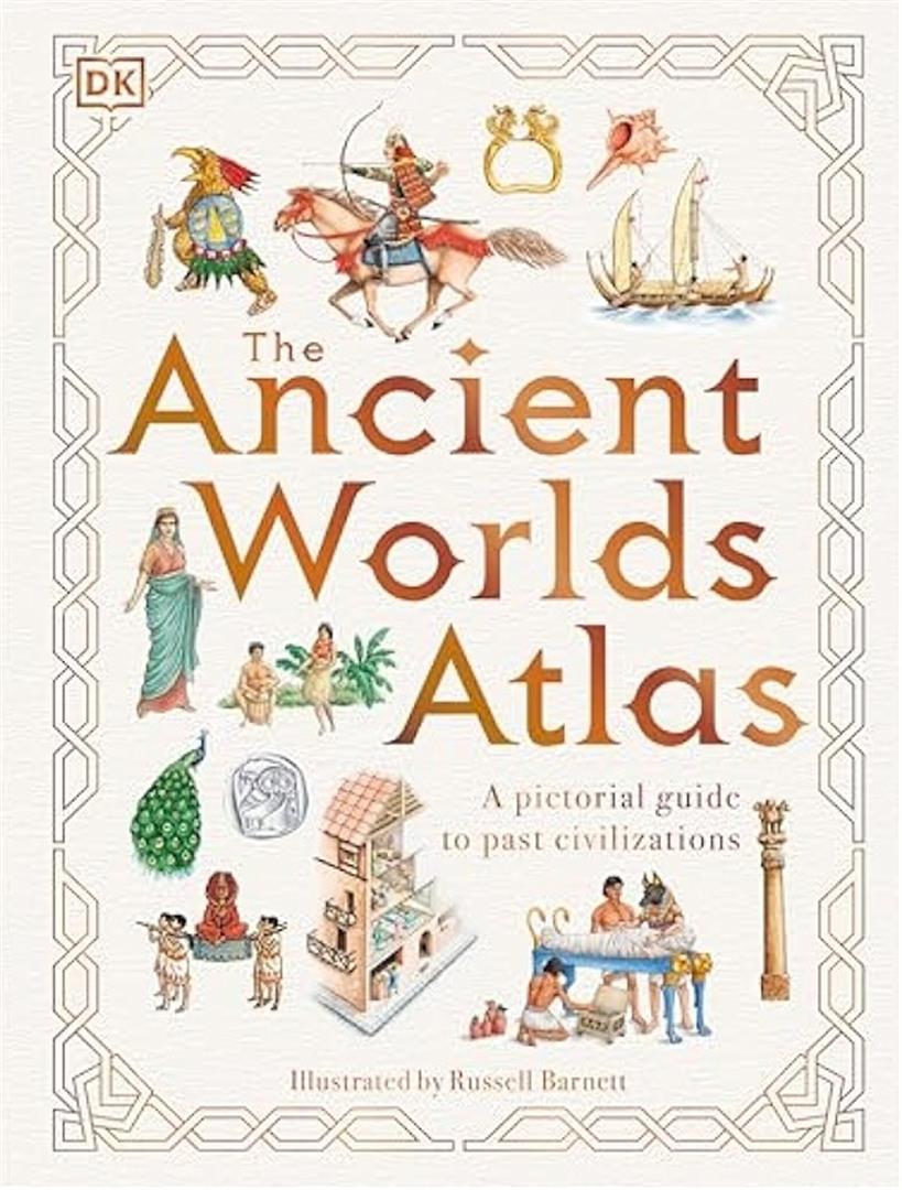


The Ancient Worlds Atlas: A Pictorial Guide To Past Civilizations
Not available on global market
From the first cities of Sumer to the empire of the Incas, travel around the world and through 5,000 years of history in this illustrated guide to see where and how ancient peoples lived.
From North America to New Zealand, this book takes you on a trip around the world and through history to visit ancient cities and empires, showing who lived where and explaining the unique features of each civilization.
The Ancient Worlds Atlas is a pictorial guide to past civilizations, covering big history topics for curious kids aged 9-12 years. What was it like to live in the crowded city of Rome? Why did the Egyptians build pyramids? When did Samurai warriors first ride into battle? How did sailors first navigate the Pacific Ocean? Which Chinese emperor has a palace with 1,000 bedrooms? Find out the answers to these fascinating questions and much more in this lavishly illustrated guide to past civilizations.
This fascinating children’s book about ancient civilizations contains:
– A visual guide to where our forebears lived, putting their lifestyles into context of where they lived and at what time.
– An engaging, fact-packed, and educational book for children – especially those interested in history, ethnography, archaeology, and classics.
– A timeline at the end of the book which traces the major events, battles, people, and inventions covered in the guide.
– A stunning, retro illustration style combined with modern fonts that creates a fun and unique approach to this topic.
Russell Barnett’s hand-drawn illustrations literally put the past on map, showing where and why the world’s great cities grew and how archaeological evidence has provided clues to the past. With stunning illustrations throughout, this large format book makes an appealing gift for young historians that will take pride of place on any bookshelf.
The Ancient Worlds Atlas: A Pictorial Guide To Past Civilizations
The Ancient Worlds Atlas: A Pictorial Guide To Past Civilizations Book Description
Readers will love The Ancient Worlds Atlas: A Pictorial Guide To Past Civilizations, an engaging English title now available at Kalimat Bookstore Online. This large‑format book invites curious minds to explore 5,000 years of human history through vivid maps and hand‑drawn artwork. From the cradle of Sumerian city‑states to the towering Inca empire, the guide shows where ancient peoples lived and how their cultures flourished.
Fans of travel and history will journey from North America to New Zealand, stepping into ancient capitals, desert kingdoms, and mountain citadels. Meanwhile, each page explains the unique traits of a civilization, such as why Egyptians built pyramids or how Samurai first rode into battle. Moreover, the book answers questions that spark young imaginations, like which Chinese emperor owned a palace with a thousand rooms.
Throughout the atlas, Russell Barnett’s meticulous illustrations place the past on a modern map, revealing why great cities grew where they did. Additionally, a visual timeline at the back tracks major events, inventions, and famous figures, helping readers see connections across time and space.
Key Features of The Ancient Worlds Atlas: A Pictorial Guide To Past Civilizations
Each chapter acts as a visual guide, locating ancestors on a world map and setting their lifestyles within a clear chronological frame. The book is packed with facts that are both educational and entertaining, perfect for children ages 9‑12 who love archaeology, ethnography, or classic tales. Furthermore, the retro‑style illustrations blend seamlessly with modern typography, creating a fun and unique reading experience.
Because the guide includes a comprehensive timeline, young readers can trace the rise and fall of empires, landmark battles, and groundbreaking inventions. The timeline also serves as a quick reference for school projects or personal curiosity. Additionally, the large, glossy pages showcase vibrant artwork that makes the atlas a standout gift for budding historians.
Why Read This Book?
Readers will discover how daily life differed in bustling Rome compared to tranquil Maya cities. The guide encourages exploration by posing intriguing questions and then providing clear, illustrated answers. Moreover, the book stimulates critical thinking, prompting children to compare cultures and understand how geography shaped history.
Fans of visual learning will appreciate the hand‑drawn maps that label key sites, trade routes, and architectural wonders. Meanwhile, educators can use the atlas as a supplemental resource in history or social studies classes. Because the content is concise and illustrated, students can absorb information quickly without feeling overwhelmed.
About This Book
More detail about this book and its author can be found on Goodreads. Also, discover the best English books online in our store through this link. This captivating atlas makes a proud addition to any bookshelf and promises hours of discovery for young explorers.
| Author |
|---|
Only logged in customers who have purchased this product may leave a review.
Product Related

Out of stock
Not available on global market

Not available on global market

Not available on global market

Out of stock
Not available on global market
Reviews
There are no reviews yet.